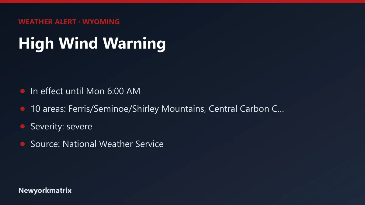
Wyoming: High Wind Warning in effect until Mon 6:00 AM
10 areas in Wyoming are under a high wind warning, according to the National Weather Service, starting Sunday, October 11 at 3:00 PM MDT.
Key points
- High Wind Warning for 10 areas of Wyoming
- In effect until Mon 6:00 AM
- A High Wind Warning means a hazardous high wind event is expected or occurring.
10 areas in Wyoming are under a high wind warning, according to the National Weather Service, starting Sunday, October 11 at 3:00 PM MDT.
A warning means the hazard is happening now or is about to, and people in the area should act to protect themselves.
The forecasters' summary: South to southwest winds 25 to 40 mph with gusts up to 65 mph possible.
Areas affected
Ferris/Seminoe/Shirley Mountains, Central Carbon County, North Snowy Range Foothills, Southwest Carbon County, Green Mountains and Rattlesnake Range, Natrona County Lower Elevations, East Sweetwater County, Rock Springs and Green River, Flaming Gorge and Southwest Wyoming.
Timing
- Starts: Sunday, October 11 at 3:00 PM MDT
- Ends: Monday, October 12 at 6:00 AM MDT
- Severity: severe
- Issued by: National Weather Service offices in Cheyenne WY, Riverton WY and Salt Lake City UT
What to do
The National Weather Service advises: "A High Wind Warning means a hazardous high wind event is expected or occurring. Sustained wind speeds of at least 40 MPH or gusts of 58 MPH or stronger can lead to property damage."
Alerts can be extended, upgraded or cancelled at short notice; check the National Weather Service or local officials for the latest. Information from the National Weather Service. Generated automatically.
Spotted a mistake? Report an error · Corrections policy
From the newsroom
Newsroom desk