



Flood Watch issued for parts of Kansas
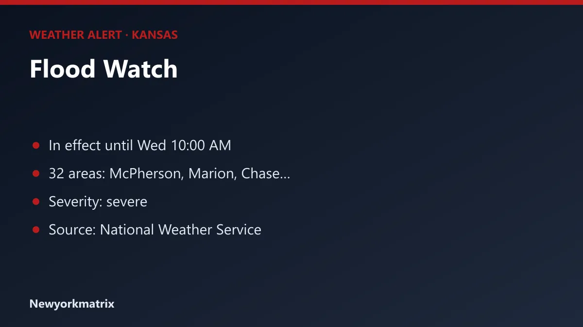
The National Weather Service has a flood watch in effect for 32 areas of Kansas, lasting until Wednesday, October 14 at 10:00 AM CDT.
By News Desk

Key points
The National Weather Service has a flood watch in effect for 32 areas of Kansas, lasting until Wednesday, October 14 at 10:00 AM CDT.
A watch is a heads-up: the hazard is possible, and residents should make plans now in case it develops.
The forecasters' summary: Localized flooding caused by excessive rainfall is possible.
McPherson, Marion, Chase, Reno, Harvey, Butler, Greenwood, Woodson, Allen, Kingman, Sedgwick, Miami, Linn, Cass, Johnson, Pettis, Bates, Henry, Bourbon, Benton, Morgan, Vernon, St. Clair, Morris, Wabaunsee and 7 more areas.
The National Weather Service advises: "You should monitor later forecasts and be alert for possible Flood Warnings. Those living in areas prone to flooding should be prepared to take action should flooding develop."
Alerts can be extended, upgraded or cancelled at short notice; check the National Weather Service or local officials for the latest. Information from the National Weather Service. Generated automatically.
Spotted a mistake? Report an error · Corrections policy
From the newsroom
Newsroom desk
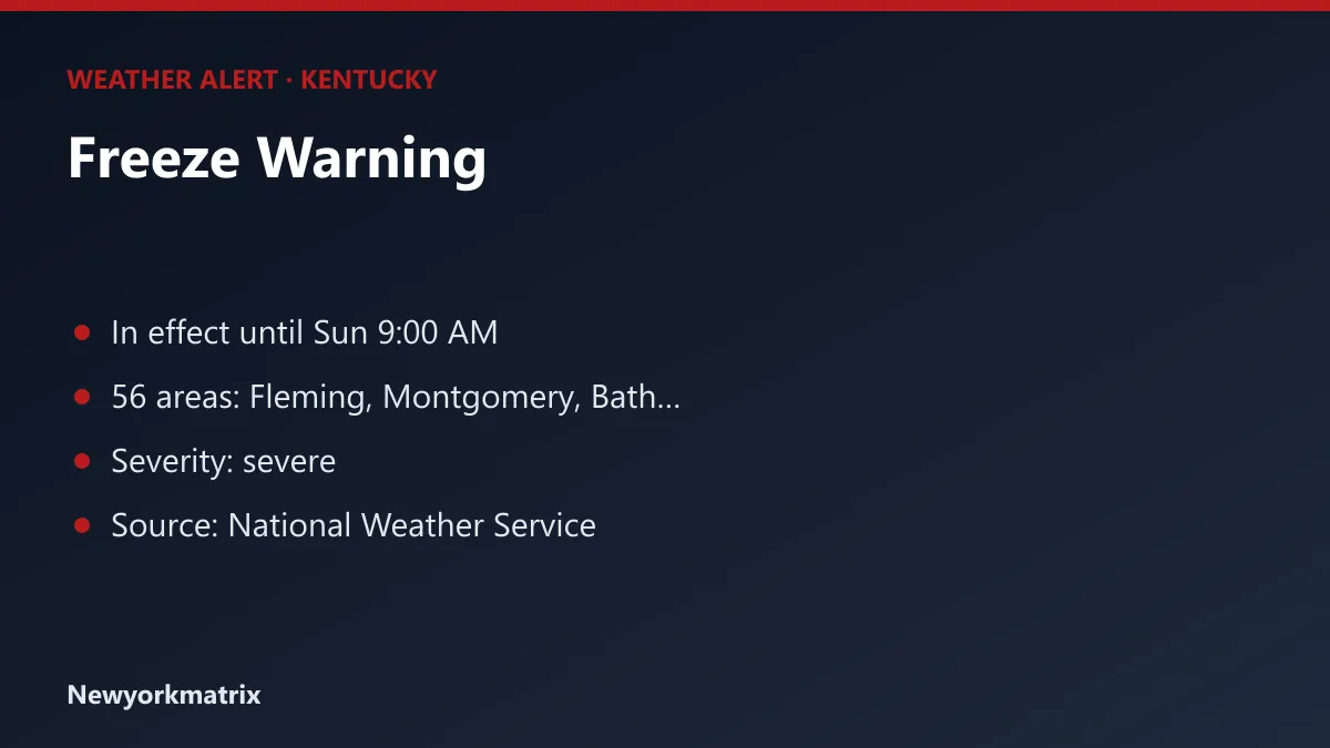
The National Weather Service has a freeze warning in effect for 56 areas of Kentucky, lasting until Sunday, October 18 at 9:00 AM EDT.
By News Desk ·
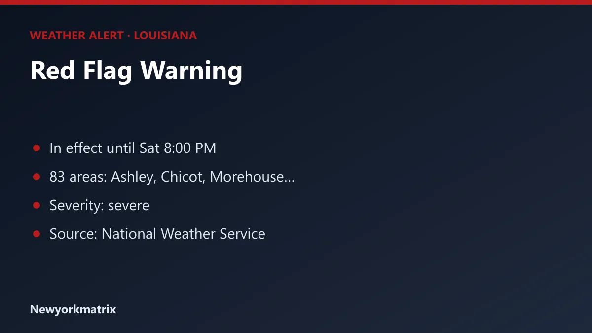
83 areas in Louisiana are under a red flag warning, according to the National Weather Service, starting Saturday, October 17 at 9:00 AM CDT.
By News Desk ·
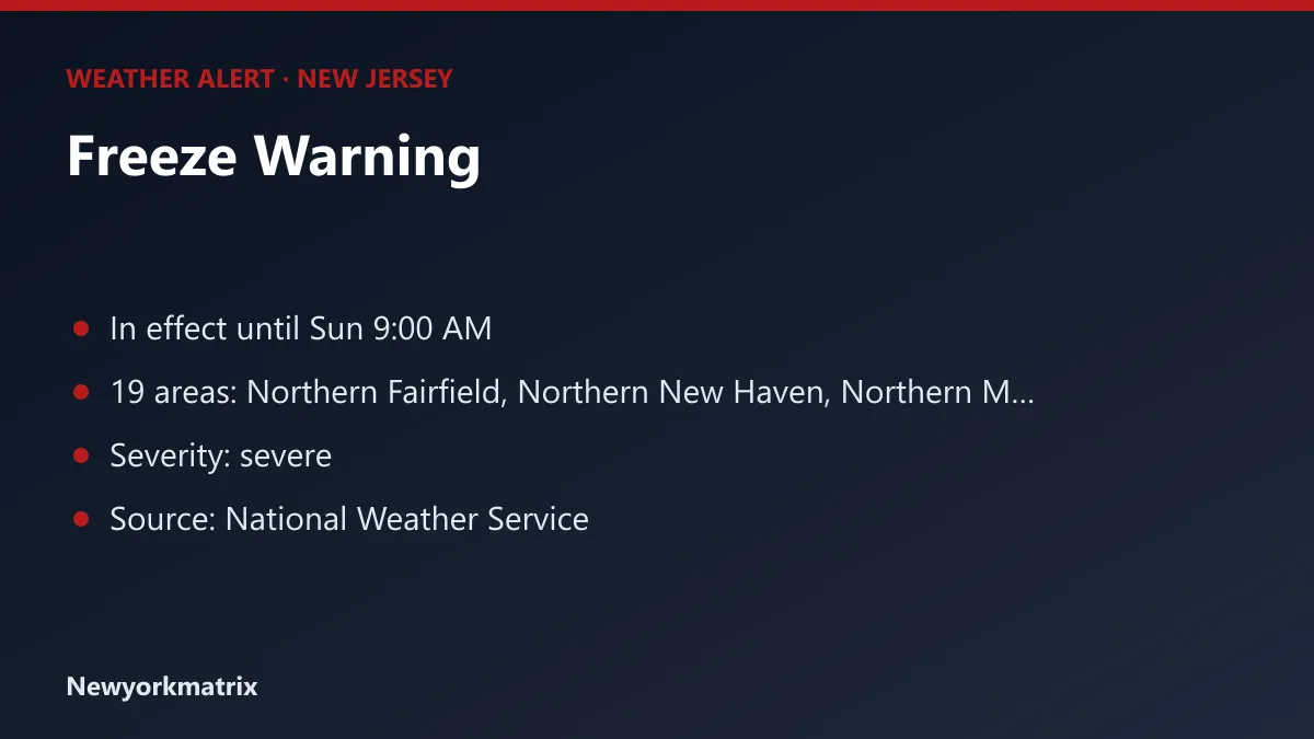
The National Weather Service has a freeze warning in effect for 19 areas of New Jersey, lasting until Sunday, October 18 at 9:00 AM EDT.
By News Desk ·